OP
- Messages
- 6,299
- Location
- Norfolk, England
- Thread Starter
- #1,585
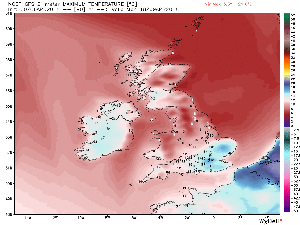
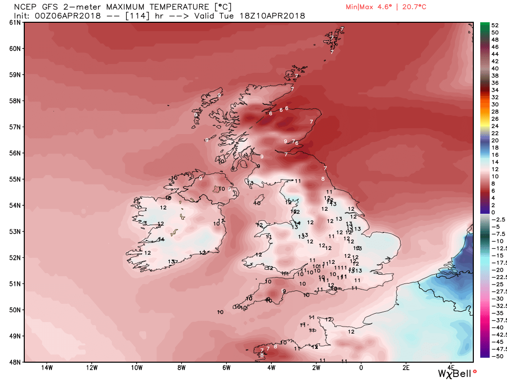
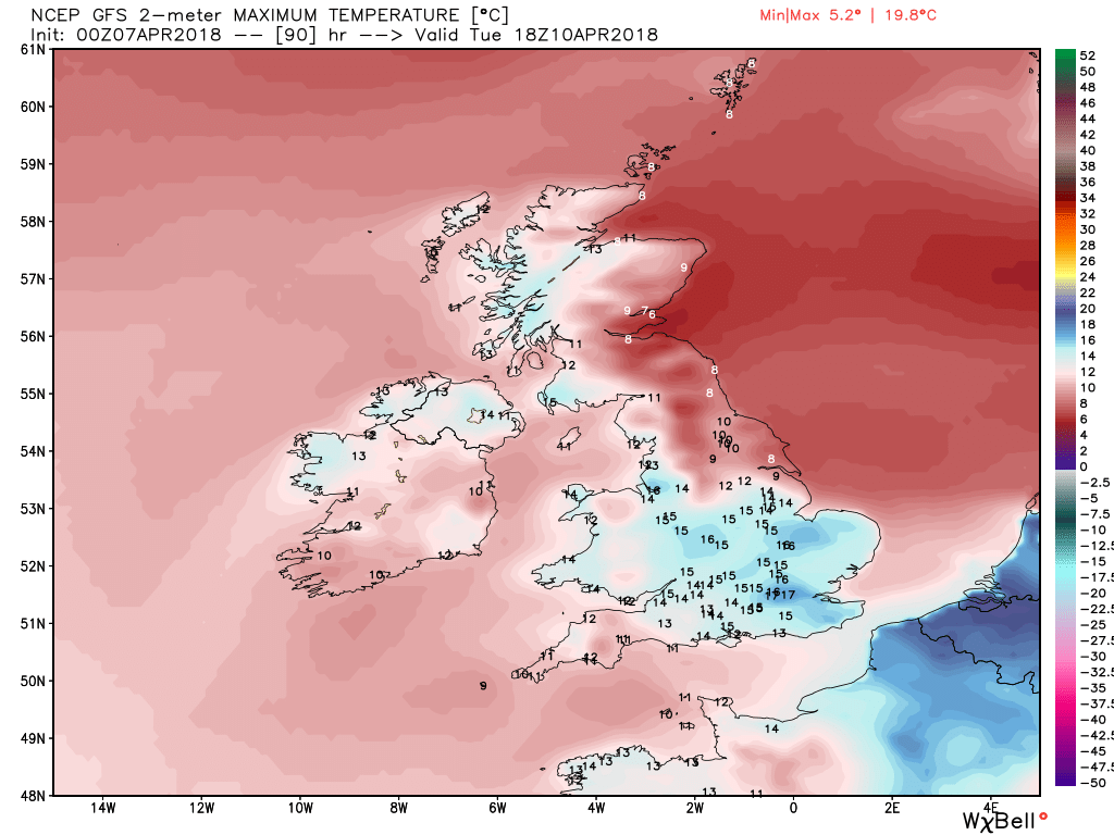
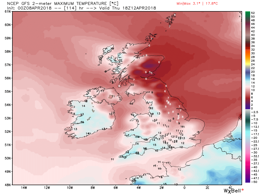
Whereabouts? As a Norfolkman who is proud of my county, I'd be interested in suggesting places you might be interested in.Off down to the Norfolk coast with the kids next week Chris so if you could see your way to putting in a good word with the weather Gods I'd appreciate it.")