UK meteorology

Rather than laboriously copy and pasting Malcolm's posts into this forum from Netweather, which is one of the reasons I haven't been posting of recent, I'll try linking the individul posts concerned. I don't think you need a Netweather forum ID to view them, though it goes without saying that you would in order to reply there. If you want to know anything beyond the contents of the post, either PM me or post in this thread and I'll try to answer your query. I'll link this morning's post from Malcolm here; obviously, the first part discusses today's weather, so it's 9 hours out of date, but it still contains his thoughts for the next few days and will act as a test to check whether you can view his posts over on Netweather from my link:

https://www.netweather.tv/forum/top...-early-summer/?do=findComment&comment=4037803
 
Many areas of eastern England, in particular my area, have experienced low rainfall for around 18 months now; rather concerning from the point of view of water reserves and river levels. Here's a tweet from late last month by a local meterologist who I know from Netweather but who works for Weatherquest, a forecasting company based at my old university, UEA:

 
Thanks for the forecast Chris. It looks like I had better crack on with my work outside as there may be showers coming into East Wales this afternoon.
Its given me the boost I need as I have been on this forum far too long this morning. :)
Glad to hear it's got you working! It certainly isn't my forecast - the chap who does it is a retired Met Office man from Cornwall, but his assessments of the models are conservative (in that he doesn't speculate) and well-supported by outputs (the images which you might be able to click on).
 
Further from Malcolm, the Northern Hemisphere Ensemble mean output and temperature anomalies (degrees above or below average for this part of the year):
https://www.netweather.tv/forum/top...-early-summer/?do=findComment&comment=4038102

Ensemble outputs arise from a model being run multiple times with slightly modified initial conditions each time in order to account for error in the input data. The results of each run can be examined individually, ordered into 'clusters' of similar solutions with weighting in terms of how many individual outputs lie in each cluster, or, as in the case of the output Malcolm discusses, the computer generates a mean average of all the individusl runs, or 'members' as they're referred to.
 
Again Malcolm is AWOL this morning, nut rain for my area this week hs disappeared from the forecasts. Next weekend and the following week will be hot in the south, with temperatures up to around 30C and possibly high humidity, though there could be storms from a Spanish Plume event to prevent the drought from being too bad. Further north, it may be more unsettled, though I'd expect all bar the northern half of Scotland to see warmth by the early part of the first week of June.
 
Still no summary from Cornish Malcolm, but the models seem to agree on an unsettled week, though perhaps drier south of the M4 corridor, with a warm-up for most away from the far north-west at the end of the week. At present, the models differ on whether that warm-up will be short-lived or sustained.
 
Further analysis:
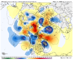
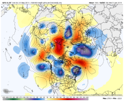
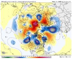
To continue briefly with the gfs

Next week it has amplification in the Atlantic with the trough eventually stretching south.The surface low will tend to stay north of the country so continuing unsettled and quite windy at first Really just to be noted at this stage

gfs-nhemi-z500_anom-9606400.thumb.png.e34f44b0d9279f7c0fe557e3ea133a26.pnggfs-nhemi-z500_anom-9692800.thumb.png.6ca678d773e4130301fd59490a342f37.pnggfs-nhemi-z500_anom-9779200.thumb.png.fc1730386c96d363c5dfc1862696d3a7.png
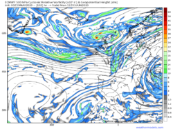
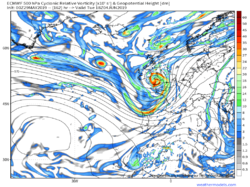
The ecm has the cold front clearing the south east on Monday leaving a cool showery day but then whips a low in from the west on Tuesday with rain and strong winds

132.thumb.png.1f59591f518939a8de995ec956ff6a84.png162.thumb.png.1a562cdf3ebb659993610a4e6dc95815.png
 
Back
Top Bottom