UK meteorology

Malcolm's comments:
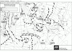
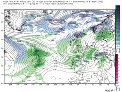
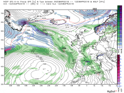
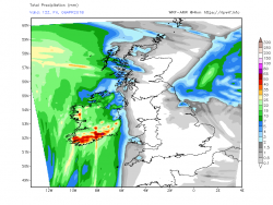
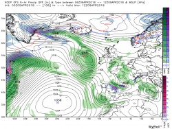
Today with fragments of fronts still lying about will be cloudy in east, central and northern England with still some wintry showers in the north of Scotland. Elsewhere sunny intervals.But dry with light winds so not unpleasant but by midday cloud and rain, which will become heavy at times, will affect the far south west as fronts from the low pressure area to the south west track north east. The rain belt will make steady progress during the day and by 00 Monday will be over Wales and the Midlands.


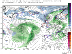
As the rain continues to move north through the night and Monday morning it will increasingly turn to snow but as ever in these marginal situations the heavier falls will favour higher ground but significant falls at lower levels cannot be ruled out.


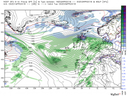
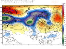
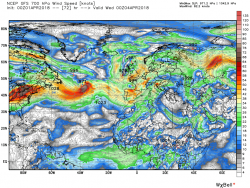
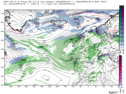
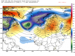
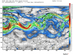
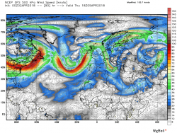
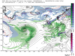
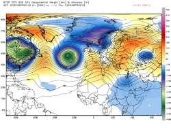
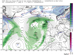
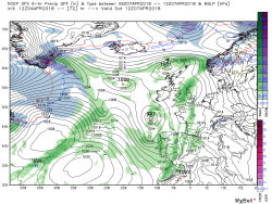
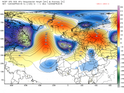
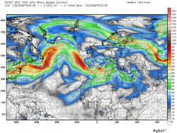
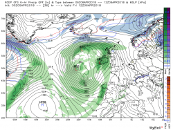
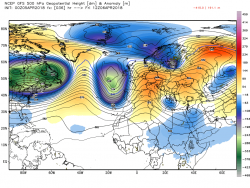
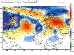
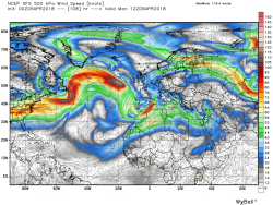
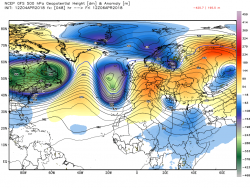
So by 00 Tuesday the snow belt is over northern Scotland with perhaps blizzard conditions pertaining in the strong ESE wind with low pressure covering the UK with centers to the south west. But as can be seen there is still a fair amount of energy exiting Canada and the south east US with more toughs tracking east putting the trough to our west under pressure.


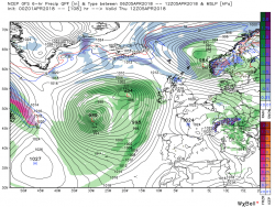
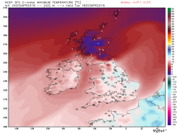
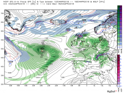
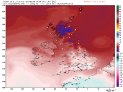
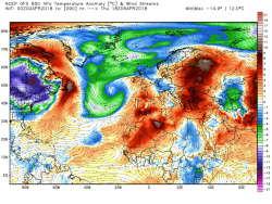
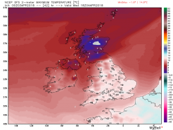
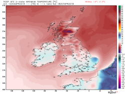
Through Tuesday, and Wednesday, under this pressure,, the configuration and orientation of the low pressure area over the UK adjusts and with low centers and the odd trough dotted about within the general circulation unsettled showery conditions, with the odd longer period of rain thrown in,is the order of the day. Quite a temp gradient by the evening on Wednesday a the wind veers north westerly


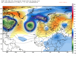
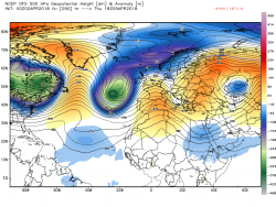
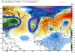
But this is but a brief regime as the low area moves quickly north east and the next trough approaches from the west but changes are afoot with high pressure beginning to amplify so best left here with Thursday looking a quieter and drier day.


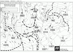
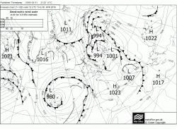
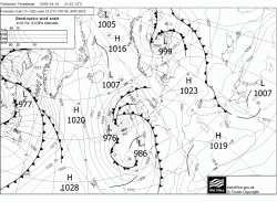
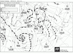
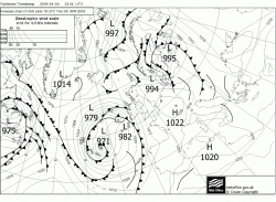
And the fax for 1200 Thursday


Edited 5 hours ago by knocker
 
Apologies for not posting a FAX chart analysis yesterday; we had friends over for the day and I didn't get a chance to produce one. For now, here are Malcolm's thoughts from earlier this morning, and I'll now do an analysis of the current FAX and post it shortly:
The frontal systems accompanied by the rain and snow, (mainly on the higher ground) belt will move slowly north over Wales, England, N. Ireland and into Scotland during the day. Thus the wet and windy weather will clear from the south leaving clear intervals with showers, but much milder air than of late, in it's wake.


This general movement north of the cold and wet weather will continue overnight and Tuesday morning along with the warmer air further south.


So in a nutshell the rest of Tuesday will stay wet, snowy,and windy in northern Scotland whilst the rest of the UK will have sunny intervals and showers once the cloud has cleared and there will be a very marked temp contrast as well ranging from 2C-14C.


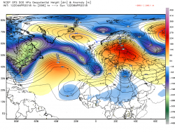
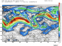
Through Wednesday the area of low pressure to the west of the UK has tightened up and moved east bringing sunny intervals and heavy showers to N. Ireland, Wales and England but still a continuation of the rain and snow in Scotland where it will also remain quite windy.Meanwhile another intense upper low has arrived in mid Atlantic courtesy of the energy exiting North America around the burgeoning Bermuda high pressure, This is to play a key role in the next development.


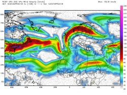
The low over the UK moves away east on Thursday leaving most places with sunny intervals and perhaps the odd shower, albeit still a marked N/S temp gradient. But out to the west the Bermuda high continues to amplify changing the alignment of the upper trough to the west of the UK and forcing it further south which in turn backs the upper flow and starts to advect warmer air into the UK


Through Friday the realignment of the upper trough and WAA continues but wind and rain associated with the surface features of the trough to the west are starting to impact the west of the UK whilst the east remains dry.


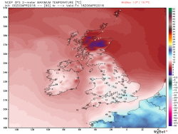
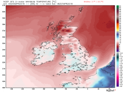
Again a marked temp gradient with temps in the 17C region in south east England
According to the ecm

Tuesday - Min 0-4C N.Ireland, Scotland and northern England 4-7C elsewhere. Max 3-5C western N. Ireland and northern Scotland 10-14C elsewhere

Weds - Min 0-4C N. Ireland and Scotland 5-8C elsewhere. Max 2-5C N. Ireland and Scotland 10-13c elsewhere.

Thursday - Min 0--3C in N. Ireland, Scotland and NW England 3-7C elsewhere. Max 5-7C in N. Scotland 10-12C elsewhere.

Friday - Min 0-3C in northern Scotland and 4-7C elsewhere. Max 7-8C in N. Scotland 11-15C elsewhere
 
Apologies for not posting a FAX chart analysis yesterday; we had friends over for the day and I didn't get a chance to produce one. For now, here are Malcolm's thoughts from earlier this morning, and I'll now do an analysis of the current FAX and post it shortly:
The river behind me was two ft higher this morning than it was last night !
Constant heavy rain all night. P.
Constant heavy rain all night.
 
Malcolm:
A quick overview. Today and for the rest of the week the UK will remain under the influence of low pressure, apart from a very brief transient ridge on Thursday. Thus also remaining unsettled but temps much milder in the south than of late although there will be a sharp latitudinal temp gradient at times

So today we have a complex area of low pressure with low centres to the west with associated fronts trailing across the north of the UK. Thus N. Ireland, Scotland, and the very north of England will stay cloudy with a continuation of the rain, sleet and snow saga and still quite windy whilst further south there will be sunny intervals with probably some heavy rain showers thrown in.


but overnight and trough Wednesday one of the aforementioned low centers tracks north east over Wales and England bringing a more concentrated area of showery rain and quite likely hail and thunder in places whilst further north the belt of very inclement , windy, weather persists. All in all a quite unpleasant day likely, particularly in Scotland with a marked temp contrast.


Overnight Weds the low moves away east leaving the UK in the transient ridge on Thursday but away in mid Atlantic the next deep upper trough has arrived on the scene and the complex large surface area of low and fronts associated with this are edging into western Ireland by Friday 00.


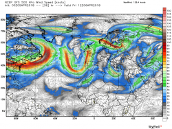
But during Friday the Bermuda and Azores highs amplify and the subsequent block drastically slows down any west > east trough movement whilst at the same time reorienting the upper trough to a more N/S structure and thus backing the upper flow over the UK and initiating some Warm Air Advection, much of which will slide to the east and just deliver the UK a glancing blow.


It all gets a bit messy on saturday as the trough just to west starts to deconstruct under renewed pressure from the west leading to a sunshine and showers day but pleasantly warm in most areas.

 
Very wet yesterday the snow didn't really stick near me though I saw a number of cars with 3" of snow on them driving around. I ended up seeing if I could get the stream that was busy washing my lane away back in the ditch where it belongs. You'd have thought the farmers would have had a go - there's a new stream down one chaps field and a new marsh at the bottom of it. Took the live stock out left the stream, which was only there because the roadside ditch was blocked.
 
Malcolm has made an evening post:
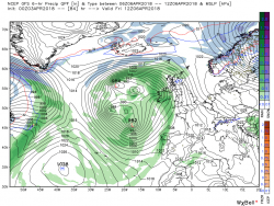
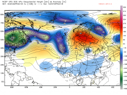
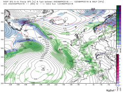
The interesting developments this evening with the GFS run, start quite early. By 1200 Friday the upper trough is just to the west of the UK with surface fronts just staring to affect western regions.


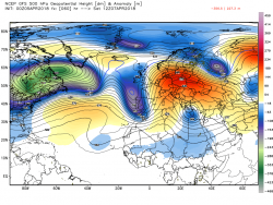
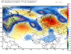
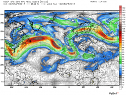
But the trough is coming under massive pressure from the block to the east and energy exiting North America which is splitting the Bermuda ridge, Consequently a messy showery scenario over the UK, albeit relatively warm.


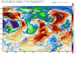
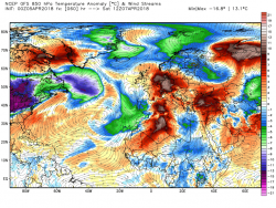
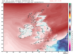
The consequences of splitting the ridge and the continuing block o the east are quickly apparent and lead to an interesting N/S temp reversal on Sunday.


And where is all of this leading?

 
Malcolm's thoughts this morning:
Today will be dry and fairly sunny for most areas as yesterday's low moves east into the north Sea and a transient ridge moves in. So, although the day will will start with quite a widespread frost, with little wind it will be quite pleasant, Particularly in comparison with recent days.


The weather remains quiescent overnight but the pattern change alluded too in last evening's post is already underway. there is a large complex area of low pressure just to the west of the UK, courtesy of the upper trough, with surface front(s) affecting western regions by1200 Friday.with rain edging into N. Ireland, western Scotland and Cornwall. But already the European high is beginning to amplify whilst simultaneously energy exiting North America is breaking down the Atlantic ridge all of which puts the trough to our west under severe pressure. And it starts to deconstruct.


The deconstruction process continues over the next 24 hours leaving a pretty messy surface analysis with low centers littered about and the front struggling to cross the country giving a fairly benign unsettled day with showers. But the trough being forced south has backed the upper flow and parts of the UK do benefit from the resulting WAA albeit most passes to the east.


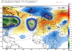
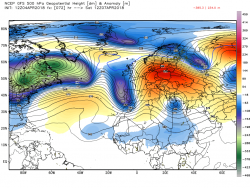
By 1200 on Sunday, with the block to the east still in place and assisted by high pressure in the Iceland area courtesy of the earlier assault on the Atlantic ridge, the energy exiting North America is tracking south east and 'topping' up our trough to the south. All of this leaves the eastern Atlantic and the UK in a very slack pressure area with showers and, according to the GFS interpretation of the pressure/temp distribution (a weak front?), a reversed temp gradient

.


Not a dissimilar pattern on Monday but more significant changes are afoot with the Atlantic high pressure once more beginning to amplify and about to connect to the ridging European high, but that for another day.

 
Back
Top Bottom