UK meteorology

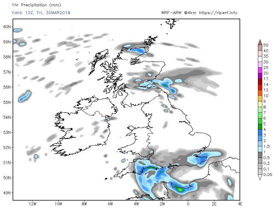
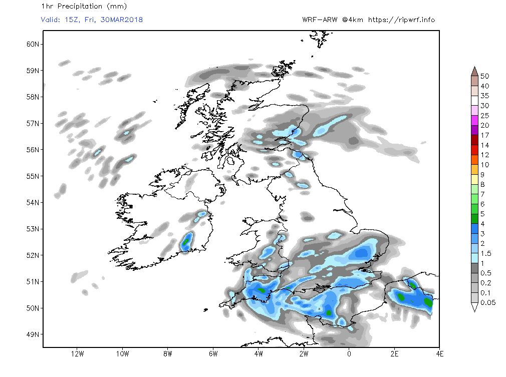
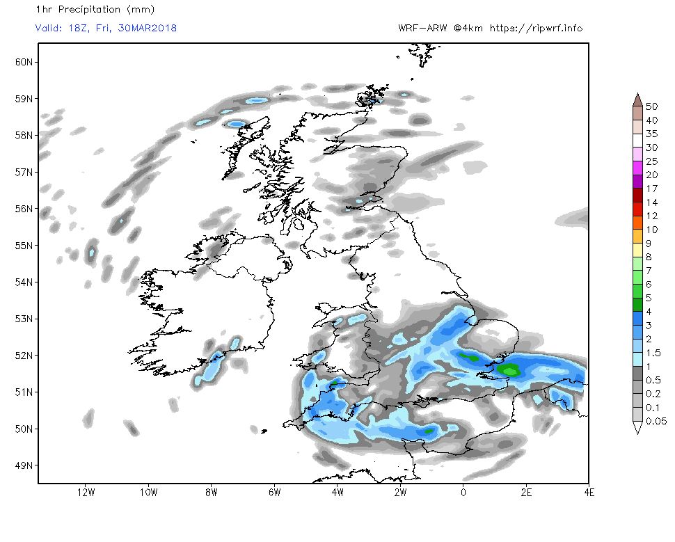
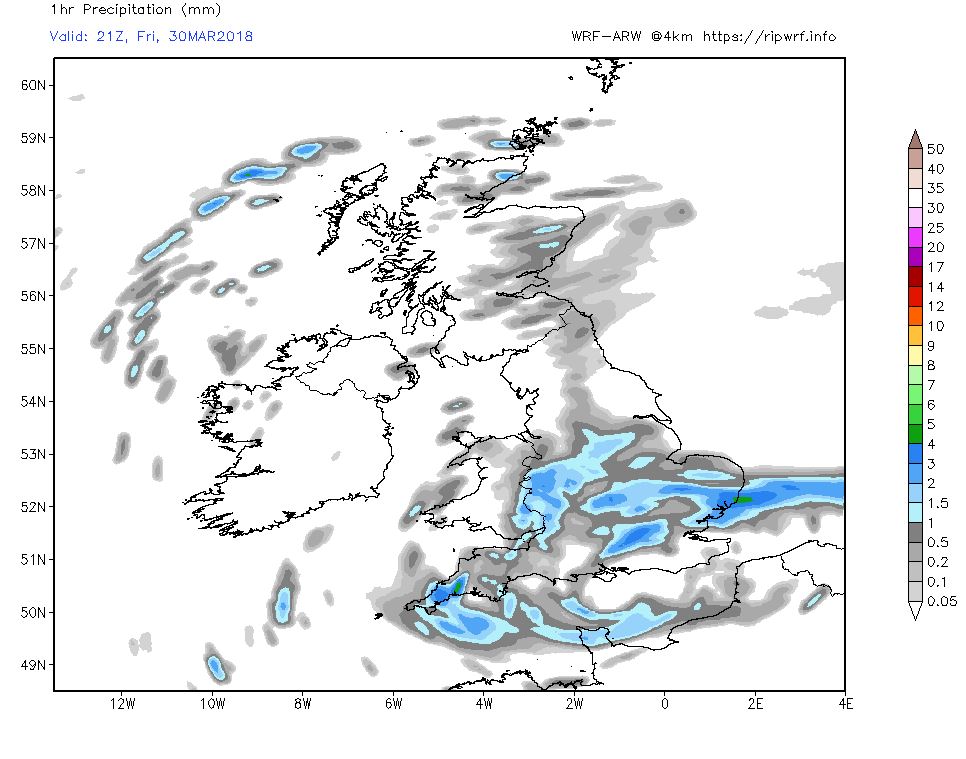
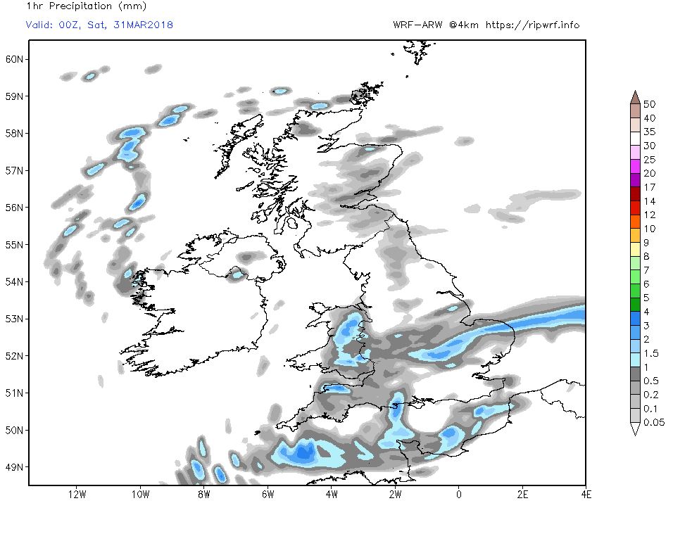
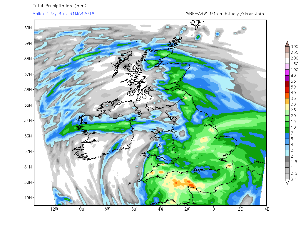
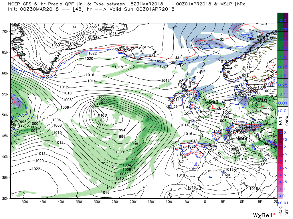
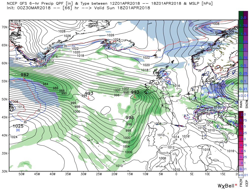
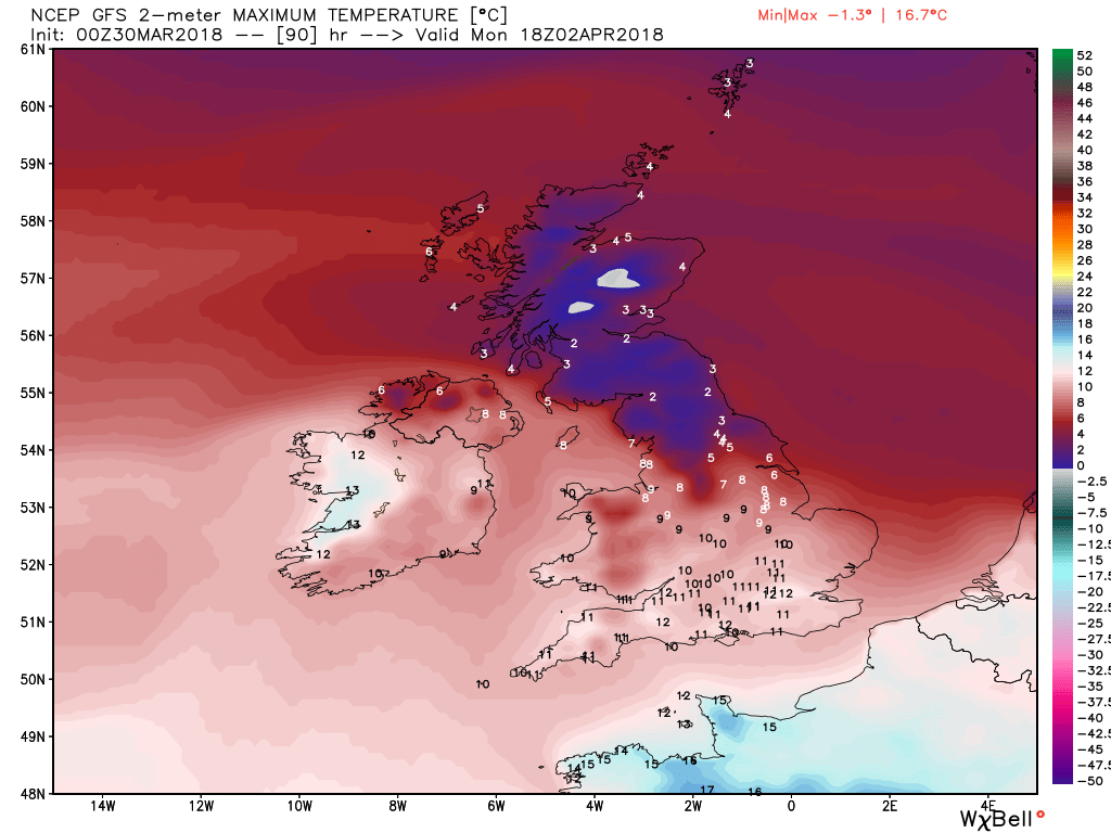
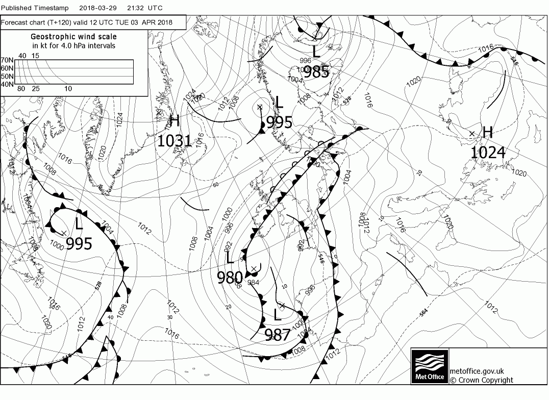
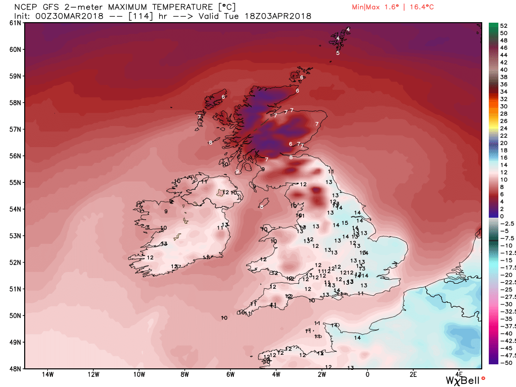
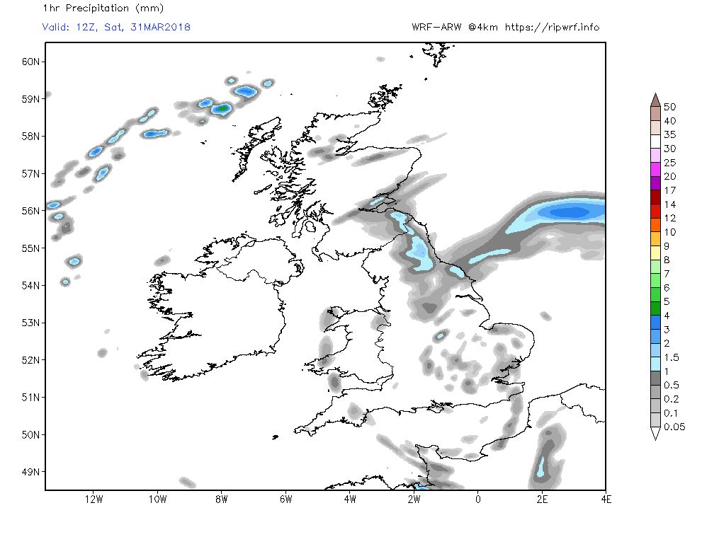
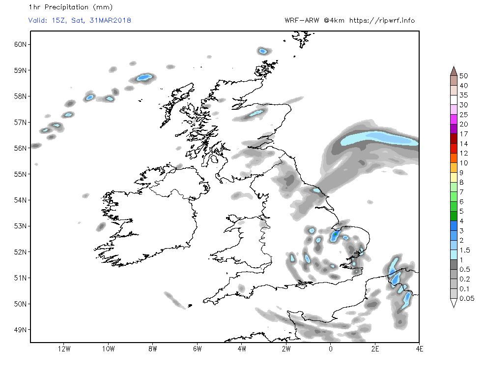
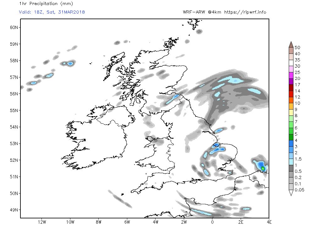
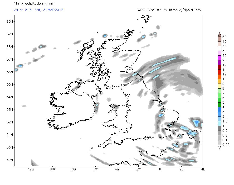
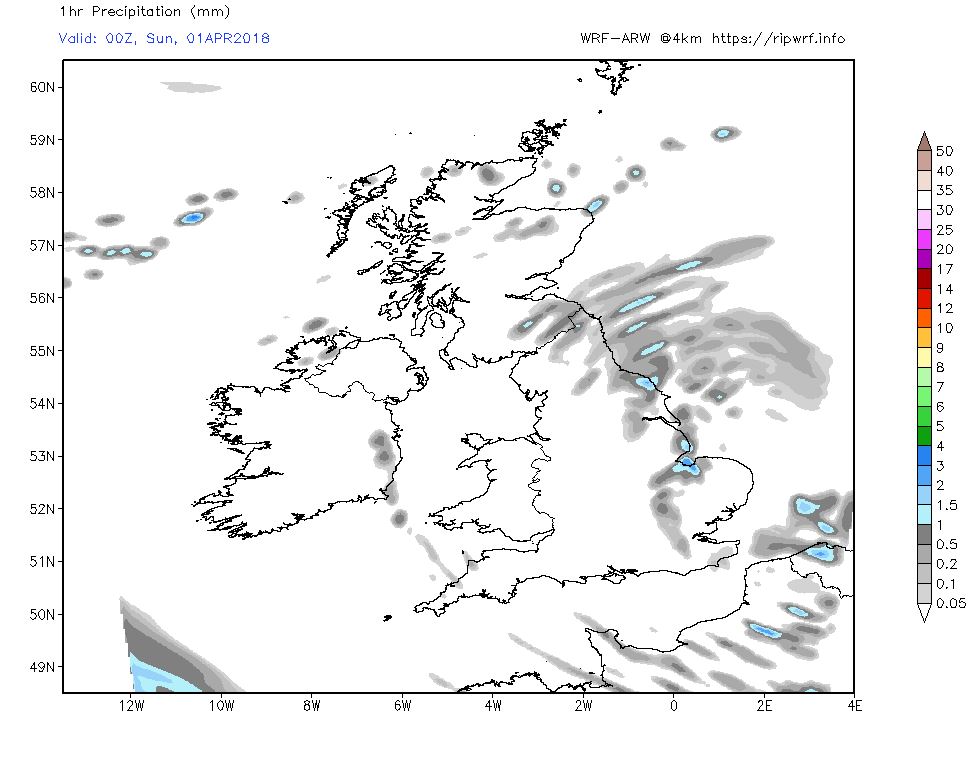
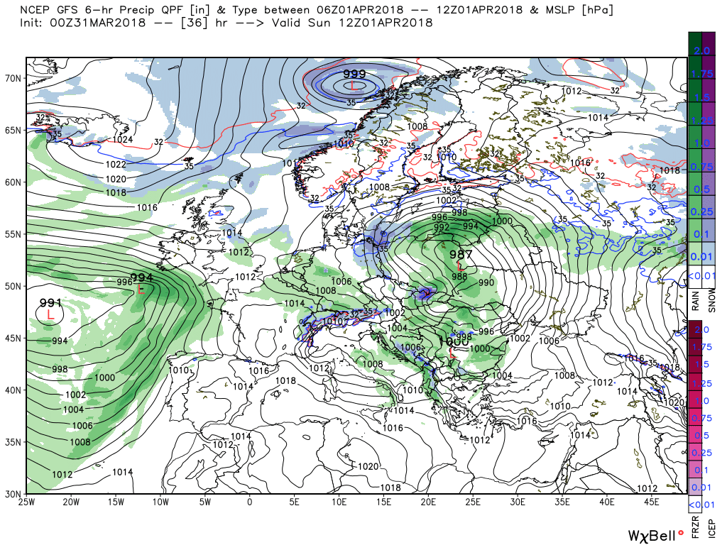
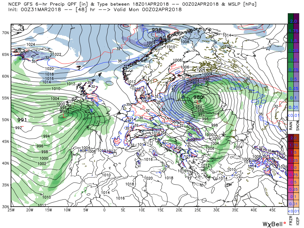
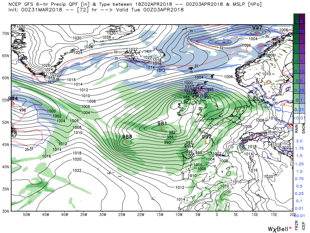
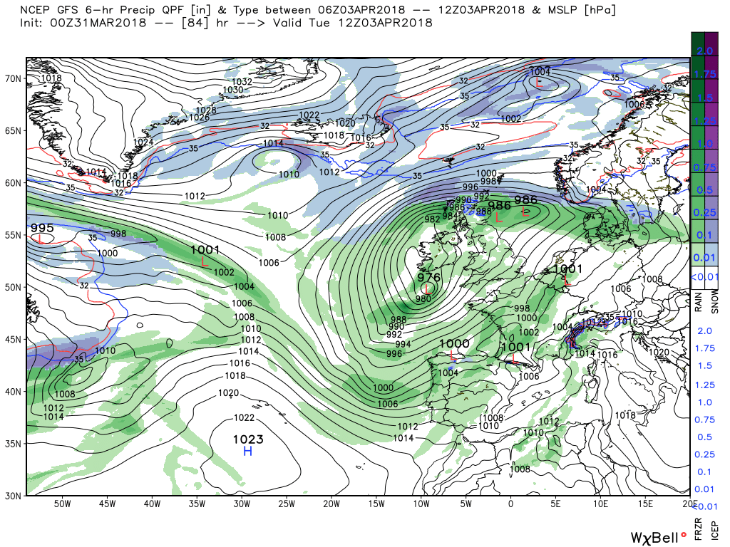
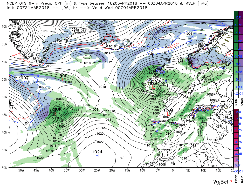
Rain easing off now after being heavy most of the night and into this morning, quite cool though even with the sun trying it's best to warm thing's up. Bank holiday coming up so the forecast of rain no big surprise there!
Happy easter !
It's been brighter here than yesterday, but the rain that moved away from your area will affect us later. Apologes for the absence of a FAX chart analysis today; my anxiety is bad and I became distracted this morning. I'll quickly post the FAX as is:
PPVA89.gif
 
Evening update:
A quick glance at the NH pattern which shows the Aleutian block that has displaced the Canadian vortex lobe and plunged Arctic air down over North America which at he same time feeds troughs east south of the Greenland block to phase with our own N. Russian lobe and trough.

 
Malcolm's usual daily thoughts based on the GFS model output:
Today rain from the occlusion is still affecting the north of England and southern Scotland, and wintry outbreaks still in the far north east, whilst further south showery rain is already affecting the counties in the far south. This will spread north during the day with occasional heavy bursts, to affect most areas up to the northern Midlands by evening. The driest weather being northern England and western Ireland and Scotland. Temps below average, particularly in Scotland.


Tonight much of the same but some wintry showers in the north east and eastern Scotland as the low in the Channel drifts slowly east initiating a fresh south easterly wind.


The rest of Saturday remains unsettled with outbreaks of rain and some hill snow as the low nudges it's way east and feeling quite cold in the easterly wind that has backed a tad and particularly in N. Ireland and Scotland where colder air has ingressed from the north.


Sunday will be generally cloudy but dry with light winds as the low continues to track east but not particularly warm as the colder air slides further south, albeit it's not that cold. But come evening a front associated with the rather diffuse low pressure system to the south west is already bringing rain into Cornwall.


The front(s) and rain will track north east overnight Sunday through Monday with the possibility of the rain turning to snow along the leading edge over the midlands and the north, particularly over the higher ground. By 1800 on Monday there is a marked delineation between the colder air to the north and the warmer air in the south.


The front which by now has occluded will continue to move north slowly through Monday night and Tuesday and of course it's precise position is critical to determining the boundary between the airmasses and as can be seen the temps in the milder air are above average. Haven't said that much of late.


This is of course according to the GFS and with some fine margins involved other interpretations are a distinct possibility.
 
His thoughts on the ECM:
At 1200 on Monday the ecm has the main rain/snow belt across N/ Wales the Midlands and East Anglia. There is again a marked boundary between the dew points norh of a line around Bristol to Great Yarmouth and south of it, 32-38F > 40-50F This would make snow on low ground extremely marginal. By 00 Tuesday the boundary has only adjusted slightly north.
 
Malcolm's post:
The low and front currently situated over central England will move slowly east during the day. Thus the outbreaks of rain and hill snow will do the same and it will become drier in the west and less windy with the drier and sunnier areas being N. Ireland and western Scotland. Quite a chilly day as well with temps a little below average


The low will continue to track east during the night and through Sunday with the bouts of rain dissipating leaving clear periods in many areas and quite a widespread frost.by morning and a slack pressure gradient over the UK. Thus generally a dry day day apart from a few showers in the east. But by lunchtime a front and heavy rain associated with the depression to the south west are already starting to impact Cornwall and these will move north east during the rest of the day and evening.


The track of the front will continue through Monday and of course the question remains will the rain turn to snow and if so where and how low down. According to this morning's GFS snow will be struggling in the lower regions until further north but there is still uncertainty about such a marginal scenario. What we do have by the end of the day is very marked latitudinal temp gradient


By 00 Tuesday the overall pattern is very similar to one highlighted yesterday vis high latitude blocking and spillage with low pressure dominating the Atlantic and a brief touch of WAA over the UK.


So certainly less cold on Tuesday with temps near average but frequent rain showers will be the order of the day and the low pressure in the eastern Atlantic is getting more organized with some able assistance from the energy still exiting north America and later a more concentrated band of rain crosses the country accompanied by strong winds as an intense low 974mb tracks into eastern Ireland. And the colder air is never that far away.


According to the ecm at1200 Monday dew points north of a line N.Wales to Hull in the 33-34F region. South of it 40-45F
 
Back
Top Bottom