OP
- Messages
- 6,299
- Location
- Norfolk, England
- Thread Starter
- #385
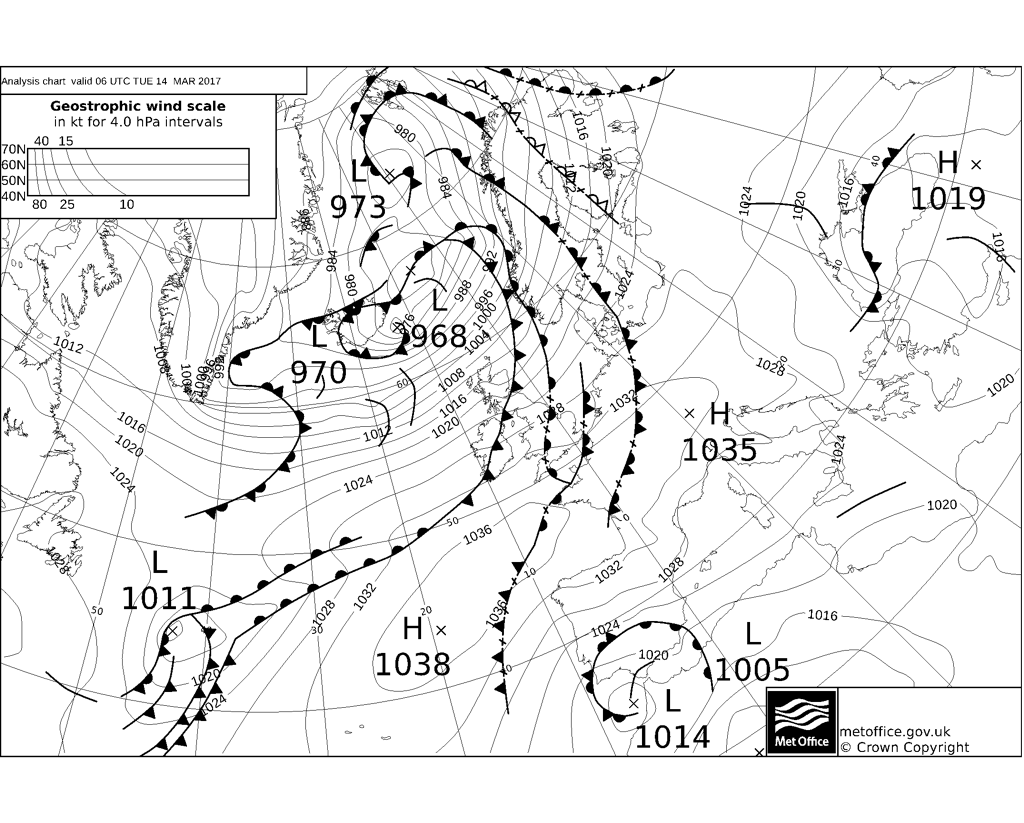
New synoptic guidance blog from Netweather. Note the cut-off high over southern Greenland, which is a remnant of a pronounced longwave ridge which was was cut-off at its southern end by a reinvigorated jet.
http://www.netweather.tv/index.cgi?action=news;storyid=7997;sess=
http://www.netweather.tv/index.cgi?action=news;storyid=7997;sess=